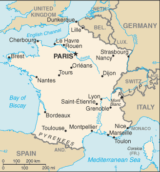
http://www.ducksters.com/geography/flagmaps/fr-map.gif
Land Area: 210,668 square miles
Population: 65,630,692
Capital: Paris

Picture from http://www.france-pub.com/maps/regions-towns-1000.jpg

1. Paris
Picture from http://media-cdn.tripadvisor.com/media/photo-s/01/8e/83/3e/paris-desde-la-torre.jpg

2. Marseille
Picture from http://www1.iaphworldports.org/gallery/img/Marseille-aerial.jpg
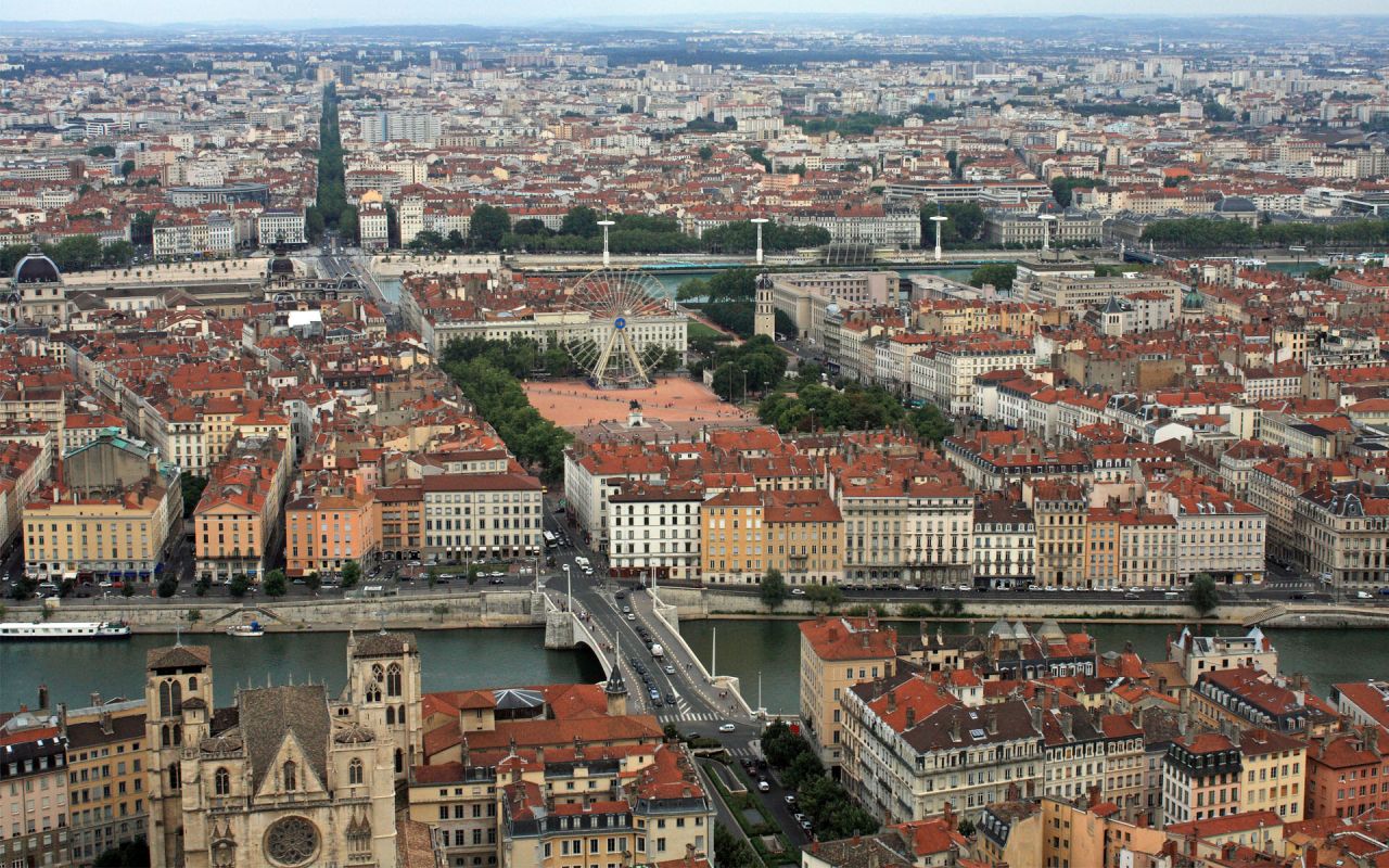
3. Lyon
Picture from http://www.actuaries.org/lyon2013/images/slide-1.jpg
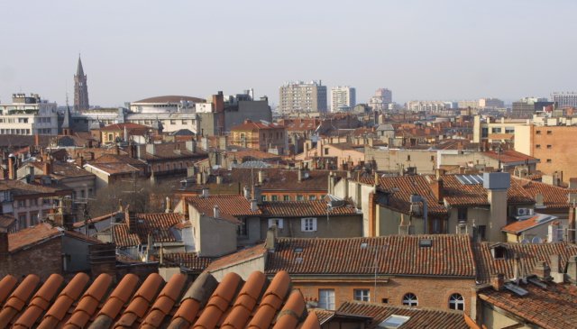
4. Toulouse
Picture from http://upload.wikimedia.org/wikipedia/commons/c/c0/Toulouse_toits_depuis_Boulbonne.jpg

5. Nice
Picture from http://www.cruisereviews.com/images/ports/europeportreviews/FrenchRivieraPics/Nice_Beach.jpg

6. Nantes
Picture from http://www.scienceline.eu/wp-content/uploads/2012/11/Nantes-France.jpg

7. Strasbourg
Picture from http://www.europeprize.net/de/wp-content/uploads/cities/strasbourg.jpg
8. Montpellier
Picture from http://www.nyhabitat.com/blog/wp-content/uploads/2013/05/montpellier-antigone-neighborhood-aerial-view.jpg

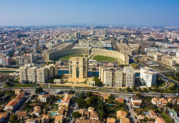
9. Bordeaux
Picture from http://svennie.no/wp-content/uploads/2011/10/bordeaux_area_-_St_Emilion_4_LVT.jpg

10. Lille
Picture from http://www.culut.com/static/wallpaper/1600x1200/hd-wallpapers-lille-france-travel-photoswallpapers-1600x1200-wallpaper.jpg
